Date: Wednesday, September 22
Time: 5:45 pm CEST
Presenter: Brad Schmidt (Applanix)
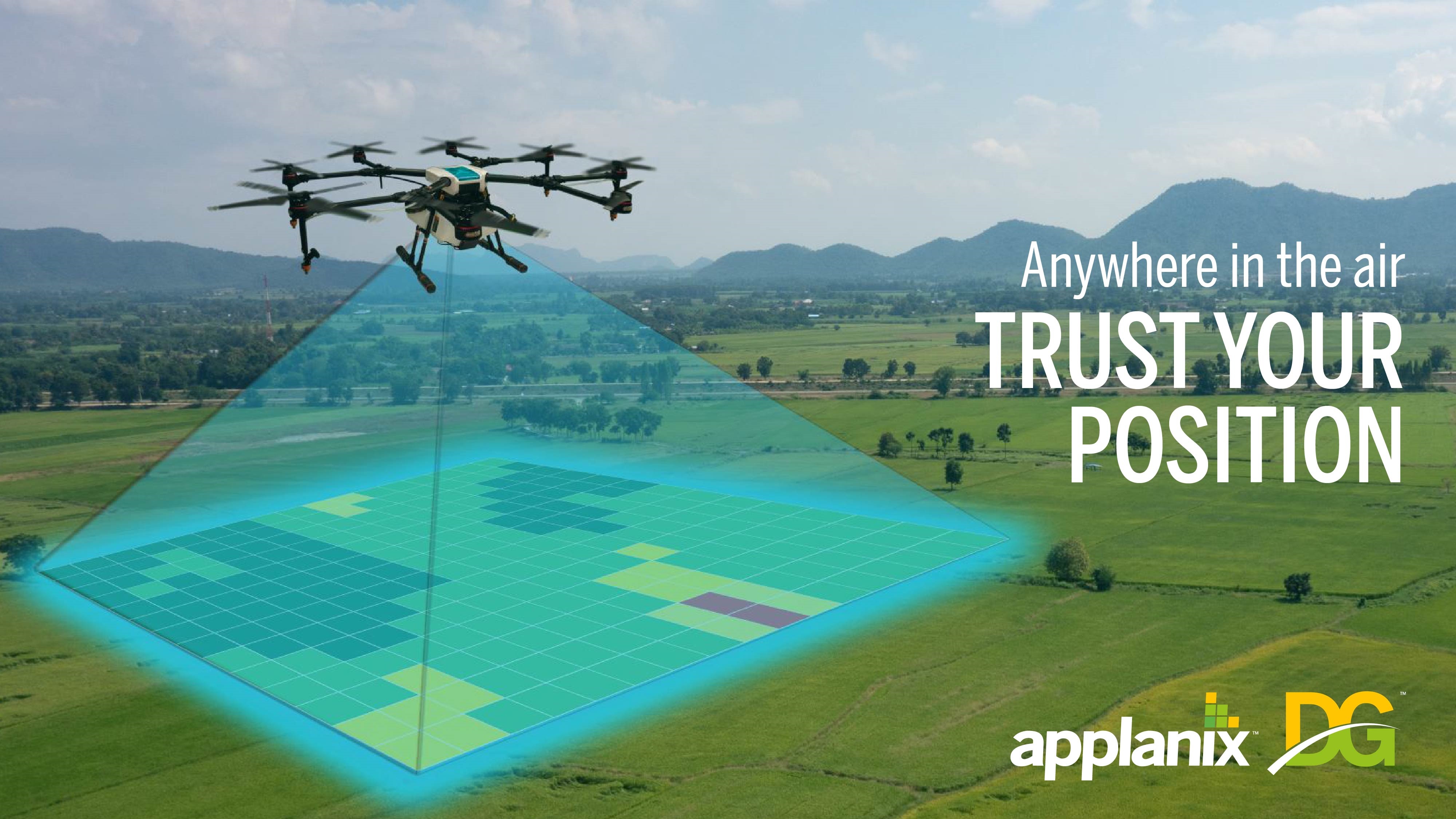
How Surveying and Mapping Projects Benefit from Direct Georeferencing
This webinar presents best practices and new technologies for survey and mapping with uncrewed aerial vehicles (i.e. UAVs). We will look at different methods of georeferencing UAV imagery, including the advantages and disadvantages for each method. You will learn about the different techniques available for georeferencing UAV imagery and ways you can save money while not sacrificing precision and accuracy.
I understand that by submitting my personal information to Trimble it is subject to the Trimble Privacy Notice. I agree that Trimble, its authorized representatives and its group of companies can contact me by email to promote their products and services. I consent to receive digital communications from Trimble. I understand I can opt-out of digital communications with Trimble at any time using the unsubscribe link in Trimble's email communications.