
Date: Wednesday, July 28
Time: 8:00 am MDT | 4:00 pm CEST
Presenters: Shane Lyons (Trimble), Sam Billingsley (RaganSmith)
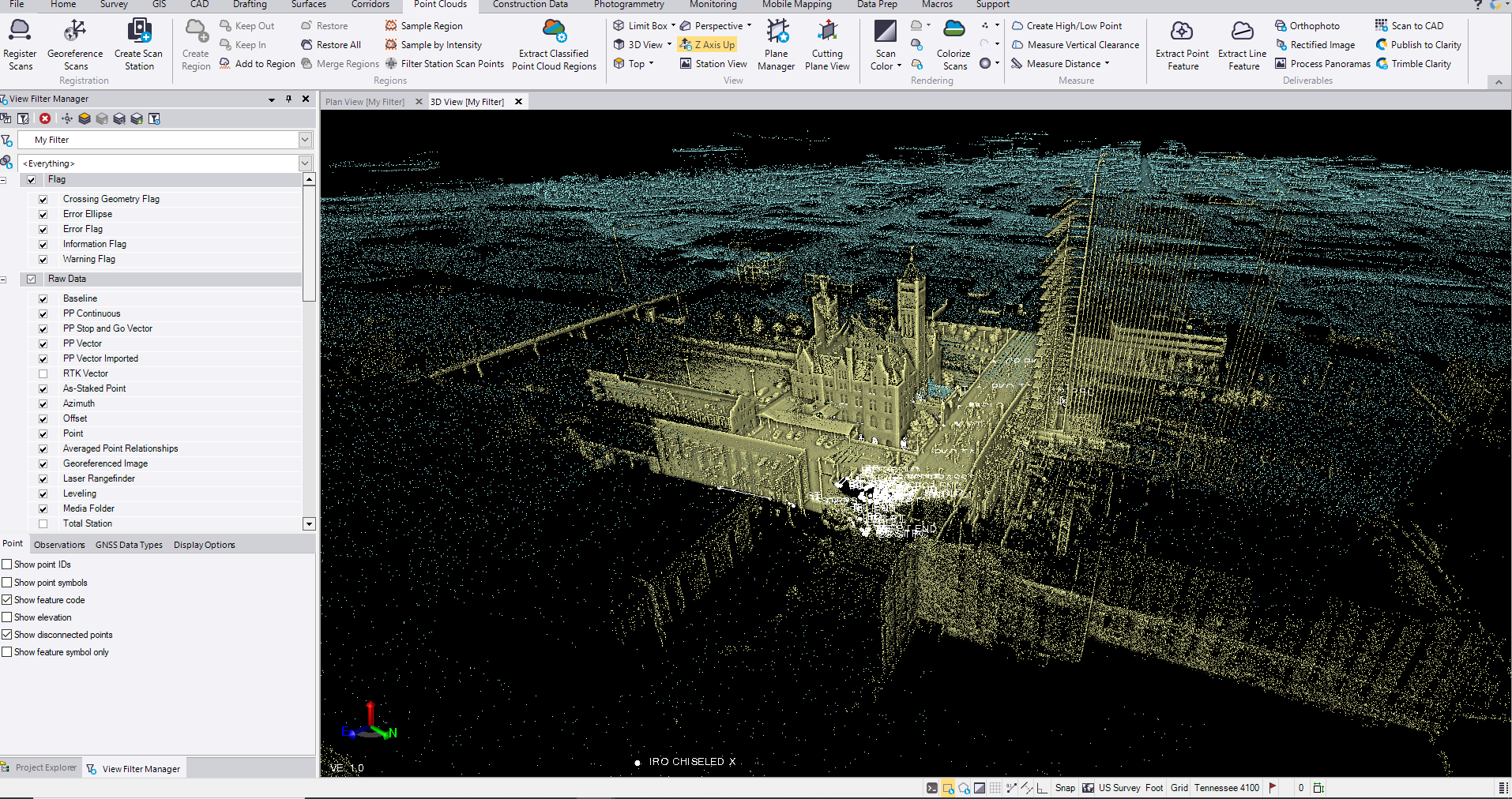
Join Sam Billingsley, RaganSmith’s Reality Capture Manager, as we showcase how to use TBC as the central hub to combine Aerial, Terrestrial, and Mobile lidar along with GNSS data collected from multiple origins into a single geodetic model space. In this session we will take a look at some of the common issues and best practices for combining these different data sources to create deliverables from all sensors in one product.
I understand that by submitting my personal information to Trimble it is subject to the Trimble Privacy Notice. I agree that Trimble, its authorized representatives and its group of companies can contact me by email to promote their products and services. I consent to receive digital communications from Trimble. I understand I can opt-out of digital communications with Trimble at any time using the unsubscribe link in Trimble's email communications.