Date: Tuesday, February 23
Time: 8:00 am MST | 4:00 pm CET
Presenter: Keith Peterson, Stratis Karantanellis
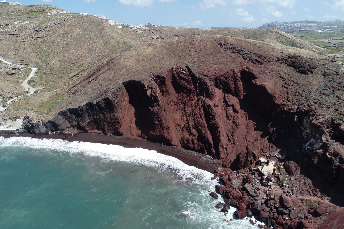
The increased development of computer vision technology combined with the increased availability of innovative platforms with ultra-high-resolution sensors mounted, has generated new opportunities and fields for landslide identification and characterization. During the last decade, the so-called Unmanned Aerial Vehicles (UAVs) have been evaluated for diverse applications such as 3D terrain analysis, slope stability, mass movement hazard and risk management. Their advantages of detailed data acquisition at a low operational cost and efficient performance pose them as leading platforms for site-specific 3D modelling. In this research, methodology has been developed based on Object-Based Image Analysis (OBIA) and fusion of multivariate data derived from UAV photogrammetry processing in order to take full advantage of the ultra-high-resolution datasets. Analysis demonstrates the potential for accurate and reliable characterization of individual landslide zones within this natural process based on close range photogrammetry for landslide conceptualization.
I understand that by submitting my personal information to Trimble it is subject to the Trimble Privacy Notice. I agree that Trimble, its authorized representatives and its group of companies can contact me by email to promote their products and services. I consent to receive digital communications from Trimble. I understand I can opt-out of digital communications with Trimble at any time using the unsubscribe link in Trimble's email communications.