
When: Wednesday, December 02, 1:00 pm MST | Thursday, December 03, 9:00 am NZDT
Presenter: Hamish MacMillan, Matthew Morris
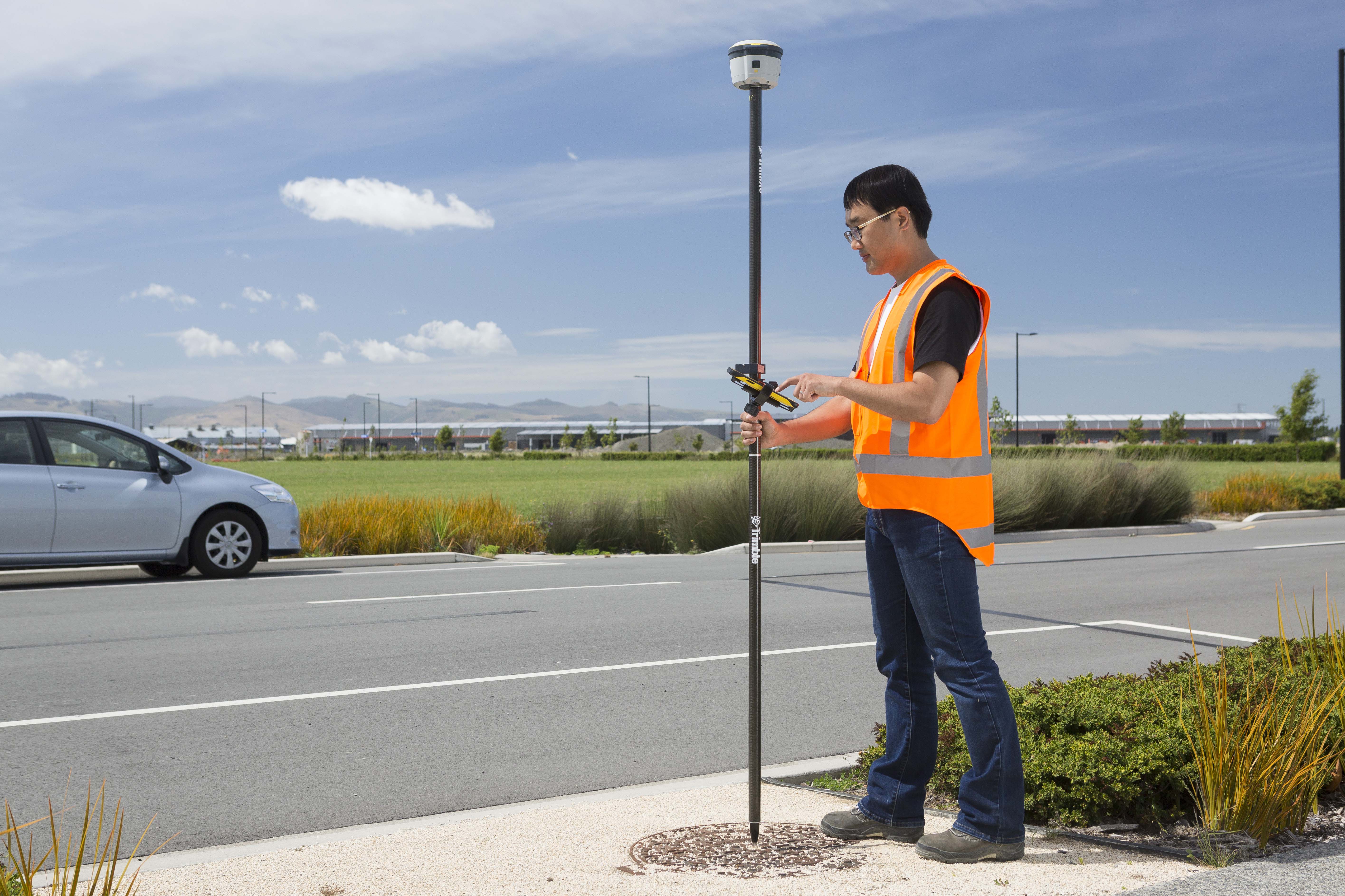
Coordinate systems are a fundamental part of GIS data collection, but they present a challenge for users who need to align newly collected data with existing data in their GIS. Join us for a webinar where we'll show you how coordinate system selection is made easy in our upcoming Trimble TerraFlex software release!
In this webinar we'll cover:
- The importance of geodetics for high-accuracy GIS data collection
- The updates to Trimble TerraFlex, Trimble Connect Map Viewer, and Trimble Positions to support local coordinate systems
- A chance for Q&A
I understand that by submitting my personal information to Trimble it is subject to the Trimble Privacy Notice. I agree that Trimble, its authorized representatives and its group of companies can contact me by email to promote their products and services. I consent to receive digital communications from Trimble. I understand I can opt-out of digital communications with Trimble at any time using the unsubscribe link in Trimble's email communications.