


Date: Wednesday, 14 October 2020
Time: 17:00 CEST
Presenter: Jeff Ryan, Trimble
Have you and your colleagues embraced laser scanning technologies and point clouds in your surveying and mapping practices but find that extracting the information you need can be a time-consuming and tedious process?
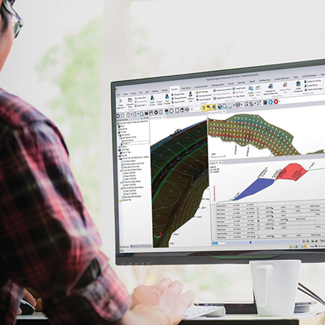
In this presentation, I will showcase Trimble Business Center’s (TBC) automatic and manual tools to efficiently transform point cloud data into actionable information and client deliverables. Starting with tools such as the automatic region classifications and spatial sampling, work only with the data you need. From there, extract features and attributes from point-based objects, like trees and signs, across the entire project individually or in a batch, or use TBC’s new automated linear extraction tool for overhead line and curb and gutter geometry.
For further detail and point creation, put yourself behind the instrument in TBC’s Station View and complete Virtual DR measurements or use the Measure Codes mode to quickly create points. Do all of this within a true geodetic environment that ensures your scan data aligns with your GNSS, optical, level, or any other survey data you can leverage in TBC. With the latest release of TBC, you can minimize your time in the field and avoid having to go back out to collect more data, while maximizing your efficiency in the office and creating world-class deliverables to your clients.
I understand that by submitting my personal information to Trimble it is subject to the Trimble Privacy Notice. I agree that Trimble, its authorized representatives and its group of companies can contact me by email to promote their products and services. I consent to receive digital communications from Trimble. I understand I can opt-out of digital communications with Trimble at any time using the unsubscribe link in Trimble's email communications.