


Date: Tuesday, 13 October 2020
Time: 14:00 CEST
Presenter: Ronald Van Coevorden, Trimble
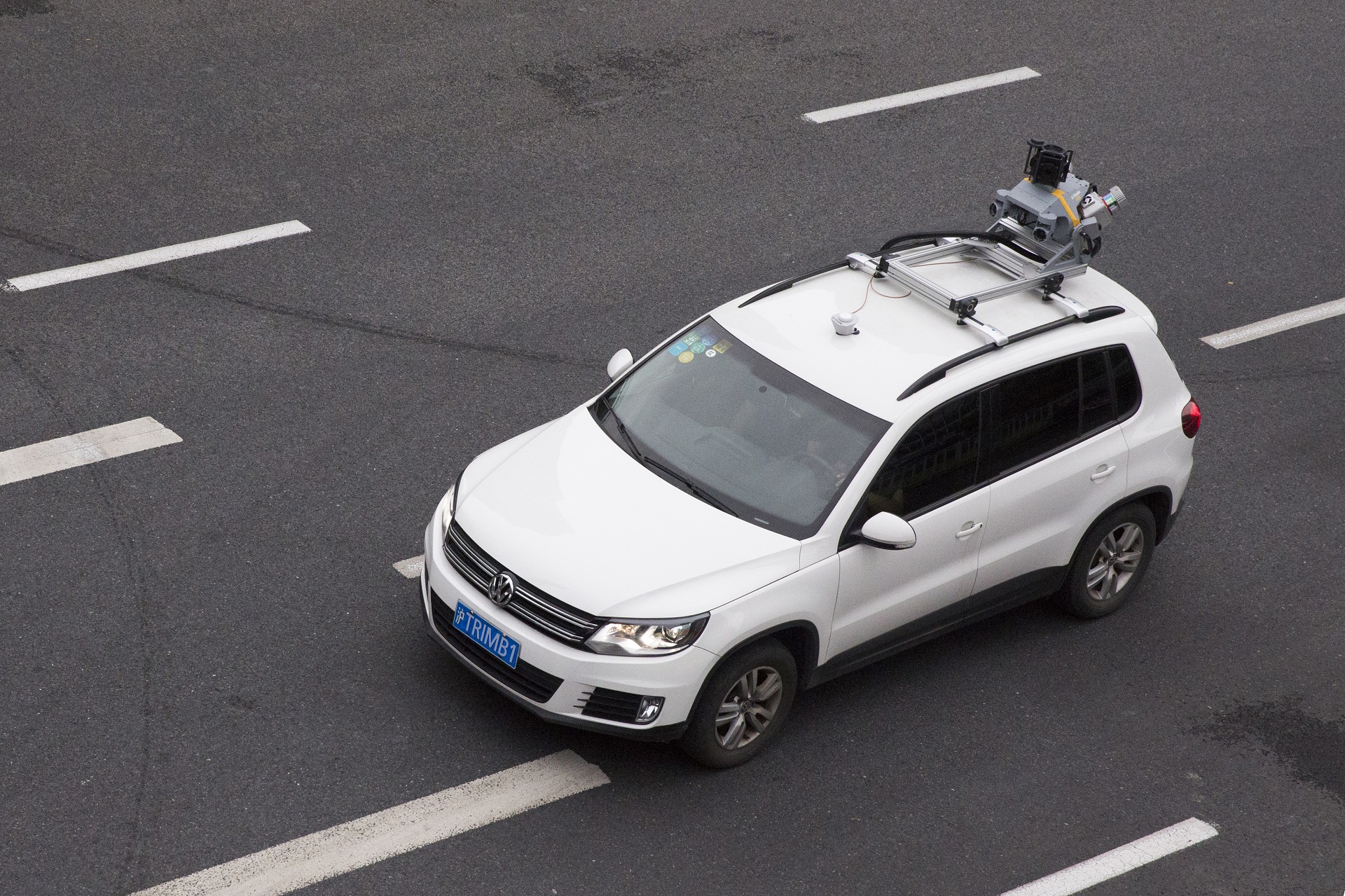
Accurate, current and immersive geo-data is the foundation for surveyors, civil engineers and other geospatial professionals to support their tasks of planning, designing, building and maintaining road and rail infrastructure. A modern high-end mobile mapping system allows to generate such data efficiently over large project areas without exposing field crews to unsafe environments or demanding for expensive road closures.
Join us to discover how to meet your customer’s expectations on data quality and completeness and how our mobile mapping systems are fully integrated into a solution that covers the complete data flow from the field to the office. Using some real-world use cases, we will illustrate how our customers have achieved exceptional results while being highly productive and cost-effective.
I understand that by submitting my personal information to Trimble it is subject to the Trimble Privacy Notice. I agree that Trimble, its authorized representatives and its group of companies can contact me by email to promote their products and services. I consent to receive digital communications from Trimble. I understand I can opt-out of digital communications with Trimble at any time using the unsubscribe link in Trimble's email communications.